Travel Guides & Maps
World War I and II
Travel guides battlefields World War I and II,
detailed maps and beautiful pictures
- Products are shipped by post. Delivery countries include the United States, Canada, Australia, and Europe.
Our services
Prepare your visit to the battlefields with our travel guides, blog or photos!

Travel guides and maps

Blog

Tourist information1
Our products
-

Map World War I – Verdun
€15,00Double-sided printed map. Folded 12.5 x 25 cm, unfolded 70 x 100 cm.
Very clear map for easy navigation in and around Verdun, including the Argonne forest and Saint Mihiel. All World War I cemeteries (French, German, American), monuments, forts, destroyed villages and museums are indicated by color. The locations are also indicated and each site has its own Google Maps reference for easy navigation. -

France – Nord-Ouest – Francophone
€17,50Première Guerre mondiale
Nord-Est-France
Marne, Meuse, Verdun, Vosges
1914-1918 -

Verdun und Umgebung – deutschsprachig
€13,95Erster Weltkrieg
Verdun und Umgebung
1914-1918
Schlacht von Verdun – 1916 -

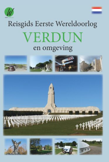
Verdun en omgeving – Nederlandstalig
€13,95Eerste Wereldoorlog
Verdun en omgeving
1914-1918
Slag bij Verdun – 1916


About
For ten years I have travelled along the former Western Front. This front, which starts at the coast of Belgium and goes through France ends at the Swiss border. Its total length is about 750 km (466 miles).
Along this route, you can find a thousand military cemeteries of many nations, more than 20 fortresses, 30 museums, several preserved battlefields which include trenches and mine craters and a lot of monuments and memorials. In 2017 I decided to write an illustrated travel guide with the goal to provide those interested in a clear overview of what can be visited. This travel guide is different from the ones which already exist. Due to its clear overview, detailed maps, richly illustrated with photos, GPS coordinates and addresses and a webpage for each subject which provides actual opening times and Google Maps, you will always find these remnants (which are sometimes hidden in the forests).

Travelguides
Click below to view our battlefield travel guides WWI


