Webshop
-

Belgique – Saillant d’Ypres – en anglais
€17,501ère guerre mondiale
Saillant d’Ypres – Belgique
1914-1918
Première, deuxième et troisième bataille d’Ypres
Bataille de Passchendaele
Deuxième bataille de Messines -

D-Day – English
€18,95World War 2
d-day
Battle of Normandy
Normandy
southern England
Atlantikwall -

France – Nord-Est – Francophone
€17,50Première Guerre mondiale
Nord-Est-France
Marne, Meuse, Verdun, Vosges
1914-1918 -

France – Nord-Ouest – Francophone
€17,50Première Guerre mondiale
Nord-Est-France
Marne, Meuse, Verdun, Vosges
1914-1918 -

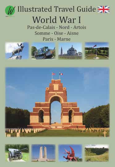
France – Nord-Ouest – Langue anglaise
€17,50Première Guerre mondiale
Nord-Est-France
Pas-de-Calais, Somme, Marne, Meuse, Aisne, Oise, Paris
1914-1918 -

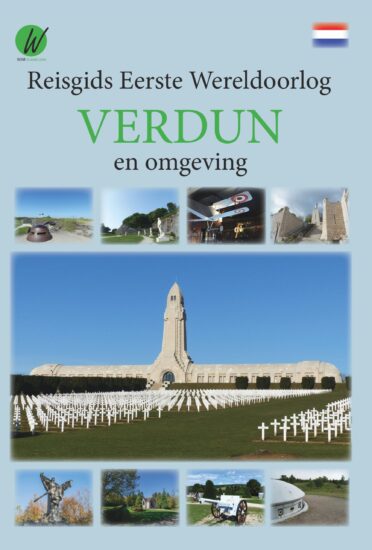
Verdun en omgeving – Nederlandstalig
€13,95Eerste Wereldoorlog
Verdun en omgeving
1914-1918
Slag bij Verdun – 1916 -

Verdun et ses environs – francophone
€13,95Première Guerre mondiale
Verdun et ses environs
1914-1918
Bataille de Verdun – 1916 -

Verdun France
€13,95Première Guerre mondiale
Verdun et ses environs
1914-1918
Bataille de Verdun – 1916 -

Verdun und Umgebung – deutschsprachig
€13,95Erster Weltkrieg
Verdun und Umgebung
1914-1918
Schlacht von Verdun – 1916 -

Map World War I – Verdun
€15,00Double-sided printed map. Folded 12.5 x 25 cm, unfolded 70 x 100 cm.
Very clear map for easy navigation in and around Verdun, including the Argonne forest and Saint Mihiel. All World War I cemeteries (French, German, American), monuments, forts, destroyed villages and museums are indicated by color. The locations are also indicated and each site has its own Google Maps reference for easy navigation.

Guides de voyage
Cliquez ci-dessous pour voir nos guides de voyage sur les champs de bataille

